
Trace a Chambersburg Street Directory
A street-by-street search in Chambersburg can establish a parcel, an assessed owner, recorded land parties, and selected historic address clues. It cannot create a complete roll of everyone at every house. Franklin County treats the property card, GIS map, recorder index, and election records as separate systems. Use each for its documented purpose. The parcel identifier and legal description are stronger checks than a house number, which may recur on parallel streets or differ from an older description.
- Normalize the number, directional prefix, suffix, and ZIP, then search the Franklin County property service or the parcel map for the address.
- Record the parcel or UPI, the situs address, the assessed owner if displayed, and the tax mailing address as separate facts.
- Use the Franklin County GIS Viewer to orient the lot, nearby parcels, district context, and visible map layers.
- Search the current owner and parcel trail through LANDEX, then compare the legal description and UPI on each earlier deed.
- For an older household question, ask the Archives or FCHS-K for the specific directory, telephone, tax-book, or census-era source that exists for that year.
Voter information has a separate, regulated route. The online status form is for an individual registration check, not a way to browse a Chambersburg street. A street list is handled by the county election office under the statutory conditions described below.
Chambersburg Street Directory Property Tools
The county identifies ActDataScout as its Property Records Online service. Its static public page was behind a browser challenge during research, so its live labels and options should be checked on arrival. The documented routes are owner name, property address, and parcel or UPI. If the online result needs confirmation, Tax Assessment maintains counter computers and property cards. Copies cost $0.25 per page according to the county assessment page.
The parcel card is a real-estate inventory. It can carry the UPI, property class, building sketch and area, improvement details, dwelling style, built year, effective age, exterior, road and sidewalk indicators, and outbuildings. Those fields describe property. A mailing address is correspondence data and does not prove that its recipient occupies the Chambersburg situs.
| Chambersburg address tool | Input or control | Use it for | Important limit |
|---|---|---|---|
| Property Records Online | Owner name, address, or parcel/UPI route | Assessment and property-card research | Exact live labels were not available in the static inspection. |
| GIS Viewer | Layers, legend, basemap, sales, district lookup | Parcel and jurisdiction context | Map geometry is not a deed description. |
| GIS Viewer | Measurement, markup, coordinates, T/R/S, print | Map exploration and a dated output | Verify boundaries and ownership with the custodian. |
Franklin County Tax Assessment shows the official assessment route that supports this part of a street directory search.
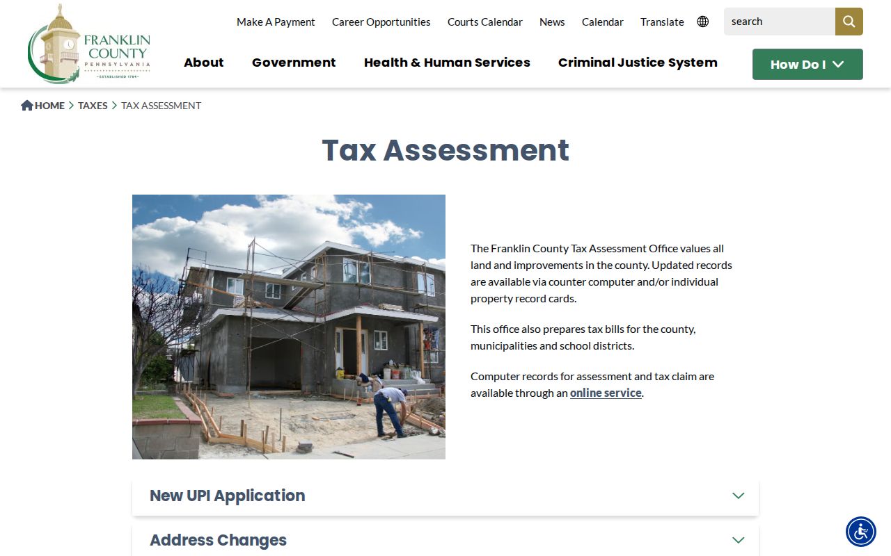
The county page reinforces that the property card and counter are useful fallbacks when the vendor site needs a live-browser check.
Read a Chambersburg Street in GIS
The GIS Viewer gives the practical map view for a Chambersburg street directory search. Find the subject parcel, keep the parcel layer visible, and pan across the block to see separate outlines. Layers and the legend add district and context information. Sales, District Lookup, measurement, markup, coordinates, T/R/S search, and print are visible tools on the landing page. A printed map should include the retrieval date and the layers shown.
The county’s disclaimer matters here. GIS data are supplied as general information and the county asks users to verify ownership, boundaries, and geography before relying on them for legal, engineering, surveying, or decision purposes. Use the map to connect an address to an assessment record and recorded documents. Do not treat a polygon or a nearby label as proof of a person’s residence.
Note: For a Chambersburg address near a municipal edge, use the GIS municipality and district layers before relying on the postal city name.
Follow Chambersburg Parcels to Deeds
The Register & Recorder holds deeds, mortgages, easements, plans, releases, powers of attorney, and other recorded land instruments. LANDEX has two access paths. Remote uses a Windows application, a user ID, password, debit account, and time-and-page billing for frequent use. WebStore is the browser route for limited searches and payment. Neither landing page publishes Franklin County’s exact online index start year or document-type menu, so that detail should not be assumed.
Start a deed chain with the parcel and current owner. Read the recorded deed for grantor, grantee, recording date, book and page or instrument reference, legal description, and UPI. Then test the seller’s earlier acquisition record against that same description. A recorded sale is evidence of a transaction, not a move-in date. The counter at 272 N. Second Street is the appropriate fallback when LANDEX does not reach the needed document.
The county’s Uniform Parcel Identifier program makes the UPI the bridge from assessment to recording. A certified UPI normally belongs on land-interest instruments unless an exception applies, and Tax Assessment verifies or assigns it. The 20-character number, including dots and dashes, also supports the county’s free recording alert service.
Chambersburg Address Files at Borough Hall
Address-linked borough files are not a resident roll. Chambersburg’s Land Use and Community Development, Public Works, and related municipal channels can hold a defined permit, planning, curb, excavation, demolition, zoning, enforcement, or inspection record. Such a file may show that work was proposed, permitted, reviewed, or inspected. It may identify an applicant, agent, contractor, or owner, and those roles should not be treated as proof of present occupancy.
No verified borough address-search portal was located. A narrow request works better: give the exact address, a date range, and the record type. Chambersburg’s public-records route accepts a written request by mail, fax, email, or in person through the Borough Open Records Officer. Its Act 3 process governs executive-agency records, while court records follow judiciary rules.
Chambersburg Street Directory Record Coverage
These sources can be aligned around a Chambersburg address, but they do not carry the same weight. Assessment and GIS records identify the parcel setting. Recorded documents identify document parties and legal descriptions. Historic sources can add a dated household clue. The table separates the custodian, content, and access route so a street search does not blend those roles.
| Address-keyed source | Custodian | What it can show | Access route |
|---|---|---|---|
| Assessment/property card | Franklin County Tax Assessment | UPI, characteristics, assessed data, and live-service owner or mailing data where shown | ActDataScout, counter computers, or $0.25 copies |
| GIS parcel display | Franklin County GIS | Parcel placement, adjacent lots, sales, district, and map context | Free viewer with verification warning |
| Deed, mortgage, or plan | Register & Recorder | Recorded parties, date, instrument, legal description, and transaction context | LANDEX, WebStore, or county counter |
| Historic indexes and tax books | Franklin County Archives | Earlier parties, taxpayers, freeholders, and deed-book routes | Repository, appointment, phone, or email |
| Land-use and permit file | Borough department or PMCA as applicable | Defined project, inspection, hearing, or code context | Careful address-and-date request |
The present parcel number ties most modern records together. The street name alone is weaker, especially where another road has the same number or historic source material uses an older description.
Historic Chambersburg Street Directory Clues
For a past household, use a year-specific source rather than assuming a continuous printed run. Verified Chambersburg editions include business directories from 1869 and 1871 through 1875, an 1876/77 edition, city directories in 1882, 1884, 1887, 1947, and 1949, and identified telephone-book runs from 1952 through 1961. They are spot editions, not proof that every year survives or that the same items sit on one public shelf.
No verified local reverse or criss-cross directory run was found. A criss-cross directory is arranged by address rather than surname, and an alphabetical book should not be given that name unless the volume itself confirms it. The FCHS-K Genealogy Library at the Old Jail is the appropriate counter channel to ask whether it has an address-arranged, telephone, or specific-year volume. The collections and reading method are detailed in the Chambersburg city directory collections.
Chambersburg Street Grid and Postal Lines
Chambersburg Borough describes a grid-like street network and more than 58 miles of local streets. It is also the Franklin County seat. The 17201 and 17202 postal areas use the Chambersburg name, yet postal geography is not a municipal boundary. A property with that mailing label can fall in an adjoining township for tax, zoning, precinct, or government-record purposes.
Use the address exactly as assigned, then check the GIS municipal or district layer and the assessment record. No official source reviewed here verified a borough-wide renumbering date, a complete historic street-name table, or a parcel-number decoding rule. For older documents, compare legal descriptions, lot or block references, maps, cross streets, and the front matter of the directory edition.
- Parcel
- A defined piece of real property used for assessment and mapping.
- Situs address
- The physical location assigned to a parcel.
- UPI
- Franklin County’s 20-character Uniform Parcel Identifier, used across assessment and recording work.
- Criss-cross directory
- A directory arranged by address rather than surname, only when the inspected volume has that arrangement.
Chambersburg Street Lists Under Election Law
Pennsylvania law makes street lists and other registration materials available for public inspection under rules set by the registration commission. The practical Chambersburg channel is the Franklin County Voter Registration Office at 272 N. Second Street, not a casual address browse online. The office lists 717-261-3886 and voter@franklincountypa.gov for registration questions. An address must be mapped to its actual election district rather than inferred from a ZIP or borough label.
Under 25 Pa.C.S. §§1207 and 1404, a person seeking public voter-list information must identify themself and attest in writing that use will be limited to elections, political activity, or law enforcement. Digital signatures and SURE registration numbers are excluded. The statewide form describes a $20 full export request, but its conditions do not make it a general Chambersburg street directory. The online registration-status service is instead an individual status check.
Note: A failed status-form search can reflect changed information or an input issue, so the county office is the better confirmation route.
Chambersburg Street Directory Privacy Limits
A Chambersburg street directory cannot confirm every person at an address. Additional occupants, utility customers, delivery data, DMV address information, protected participants, and many personal contact details are not a public street roll. Court and vital records have their own access limits. A tax mailing address can point to a relative, agent, or other correspondence location rather than the parcel itself.
Lawful use. Use Chambersburg address records for personal, lawful research and verify the result with the proper custodian. Pennsylvania’s stalking and harassment statutes, 18 Pa.C.S. §§2709 and 2709.1, do not permit threats, repeated unwanted contact, intimidation, doxxing, or harm.
For a record error, contact Tax Assessment, the Register & Recorder, Voter Registration, or the borough office that holds the source record. A current-person question that begins with a name, rather than an address, belongs with a more focused resident verification process.