
Chambersburg Neighbors by Parcel
Public sources for Chambersburg neighbors describe a block in pieces. A parcel map shows the shape and relationship of lots. A property card can supply assessed information and may display owner or mailing details in the live record. Recorded documents identify parties to a transaction. Borough files may document a defined project. Historic material can supply a dated clue. None of these sources is a complete list of everyone on a block.
| Source | What it shows about a block | Access |
|---|---|---|
| County GIS Viewer | Parcel geometry, nearby parcels, layers, districts, sales, and map context. | Free viewer, with a county verification warning. |
| Tax Assessment property card | Parcel characteristics and assessed information; live records may show owner or mailing fields. | County vendor service or Tax Assessment counter. |
| Recorder and LANDEX | Recorded transfer and encumbrance documents for each parcel. | Remote account, WebStore, or county counter. |
| Borough Land Use and Public Works | Defined permit, zoning, curb, excavation, public-way, or code record. | Request by exact address, file type, and date range. |
| Voter street or public list | Regulated civic information rather than a public browse-by-street tool. | Election-office channel and statutory attestation. |
| Historic directories and tax books | Spot-year household, freeholder, or taxpayer clues. | Archive, library, and census channels; coverage is incomplete. |
Start by separating a parcel's physical situs from its tax mailing address. A mailing address is correspondence information and may be somewhere else. It does not prove that a person is physically present at the property. The same caution applies to recorded owners and to any historical address listing.
The county's Parcel Mapper PLUS notices identify a subscription platform while directing the public to the free GIS viewer for public map work.
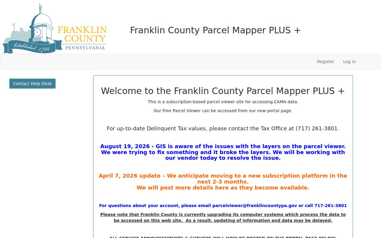
The portal notice is a reminder to verify the available public map route before relying on a parcel display or a layer that may be changing.
Chambersburg Block Geography Check
Chambersburg's grid-like streets and the local postal overlap make an exact parcel check important. A Chambersburg mailing label does not always settle whether a property is inside the borough, in an adjoining township, or assigned to a particular district. Use the GIS municipality and district layers as a second check before describing the public context of a block.
The county assessment function values real estate and improvements, while tax claim handles delinquent real-estate taxes. Those functions help explain a parcel record, but they do not identify every person connected with an address. On a Chambersburg block, compare the assessment record with map geometry and recorded documents before relying on it.
Note: Record the municipality and district shown in GIS before describing a Chambersburg mailing address as a borough location.
Map Chambersburg Neighbors by Parcel
The county GIS viewer provides the practical block method. Its visible tools include Layers, Legend, Basemap Gallery, Sales, District Lookup, Measurement, Markup, Map Coordinates and T/R/S Search, and Print. Keep the parcel layer visible, then pan only to touching or nearby outlines. The county says map information should be independently verified for boundaries, ownership details, and geography.
- Find the subject address in the Franklin County GIS Viewer and confirm the parcel outline before recording anything else.
- Pan to each touching or nearby parcel, using the layer and legend controls to keep the map context clear.
- Open the assessment record for each distinct parcel and keep its situs and mailing fields separate in the notes.
- Use LANDEX only after a parcel or owner lead is established, then compare the deed's legal description and UPI with the parcel.
- For a full named-street chain rather than an immediate block, use the Chambersburg street directory walkthrough.
This is a parcel-to-record flow: address, parcel, assessment record, recorded document, then a dated historical source if needed. It does not turn nearby property records into a census of your neighbors.
Chambersburg Neighbors and UPI
Franklin County uses a 20-character Uniform Parcel Identifier, including dots and dashes, to connect assessment and recordation workflows. Copy the identifier exactly when comparing adjoining parcels. It can keep two similar street numbers or repeated surnames from being mistaken for the same property.
The UPI is a property key, not a list of people. Use it to hold the parcel trail together while preserving the distinction between an owner, a mailing address, and an actual household. A property-record alert can be useful for a known parcel, but it does not guarantee document accuracy or establish a relationship between people on a block.
Chambersburg Neighbors, Voter Limits
Pennsylvania's ordinary voter-status service is not a block browser. For public street or voter-list material, 25 Pa.C.S. §1207 provides an inspection channel under regulation, and §1404 limits the purpose and requires written identification and an attestation before a person inspects or obtains a public-information list. The Franklin County Voter Registration Office is the proper local route for a civic request.
Public-list rules protect electronic signatures and SURE registration numbers. They also limit use to elections, political activity, or law enforcement. A street-list request should therefore stay within that statutory purpose and should never be reworked into a personal directory. A failed status check does not establish a person's civic status, address, or presence on a block.
| Official record route | Commercial neighbor tools |
|---|---|
| Identifies a named custodian, record type, date, and access rule. Parcel and deed material can be checked against the underlying county source. | Compiled listings can be stale, merge same-name people, or omit the source and date needed to verify a claim. |
| Voter information has statutory access and purpose limits, while court and borough records follow their own procedures. | No compiled tool substitutes for a county record, a regulated civic request, or a privacy-aware decision to leave a detail uncollected. |
Note: A civic request should document the statutory purpose and access condition instead of recreating a street-level list.
Chambersburg Block Permit Records
Borough records can add context to one block when the request is narrow. Chambersburg Land Use and Community Development handles planning, zoning, land-use review, property-maintenance enforcement, code enforcement, street-addressing coordination, development recordation, and Zoning Hearing Board matters. Public Works maintains records of public-right-of-way assets. Ask for an exact address, date span, and defined record type.
There is no verified public borough permit-by-address database in this research. A permit can identify an owner, agent, contractor, or applicant, so it should be read as project evidence rather than a household record. Court files follow judiciary access rules, not the ordinary executive-agency process. Keeping those request channels separate prevents a block inquiry from being sent to the wrong custodian.
Civic Bodies, Not Resident Rosters
No authoritative Chambersburg neighborhood-association umbrella directory or verified association roster was found in the research. The borough says neighborhood groups participate in community planning and lists public bodies such as Planning and Zoning, Board of Health, and Parking, Traffic, and Street Light. Those bodies are civic channels, not lists of people who live nearby.
| Verified local channel | What it supports | What it does not support |
|---|---|---|
| Borough Land Use and public boards | Planning participation, address-related municipal context, and public meeting or record paths. | A membership roster or a count of neighbors at an address. |
| Community organizations named in county research resources | Referral paths for organization or local-history questions. | A residential directory or proof of household membership. |
| Formal neighborhood associations or HOAs | No verified names, boundaries, or directory status were located in this research. | An invented contact list, roster, or coverage claim. |
Use the official borough contacts for a defined public record or meeting question. Do not infer that a public board, a civic organization, or a community contact holds a directory of Chambersburg neighbors.
Note: A public community body is a contact route, not evidence that a person is associated with a given parcel.
Historic Chambersburg Neighbors
For an older block, county tax books and identified directories can offer a spot-year view. Franklin County formed from Cumberland County in 1784, so a trail that reaches before then may need a jurisdiction change rather than a guessed local connection. Franklin County valuation records cover 1786-1807 and tax assessment books run from 1848 onward. The known Chambersburg directory editions are uneven, and no verified address-arranged local run was found. Combine a dated listing with the closest released federal census, deed evidence, and a map or legal description before connecting households to the same place.
The Franklin County Library System's Research & Learn list identifies local research resources, some requiring a library card or on-site access. It can provide a useful referral channel after a public parcel record supplies a historic name or address.
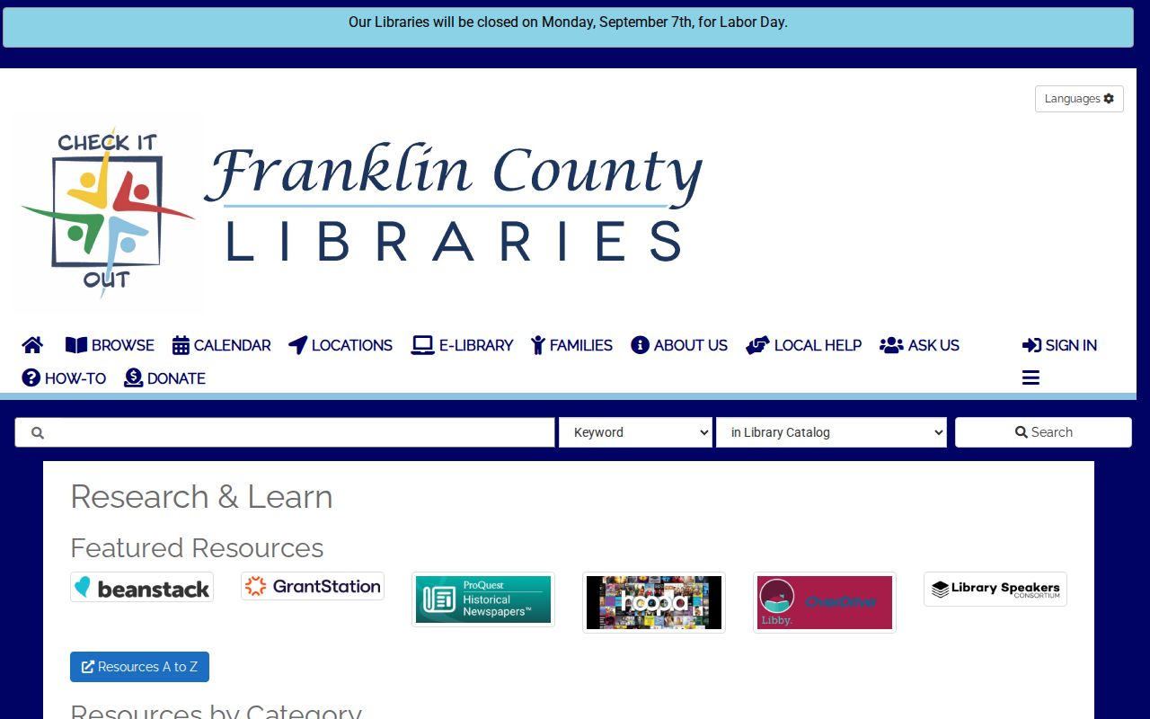
Library tools can corroborate a dated household clue, but they should be compared with the record type and year that created the clue.
The FCHS-K contact and FAQ page reports extensive local newspaper digitization for members and notes a renovation-related access caveat. Confirm current hours before planning historical research at the Old Jail library.
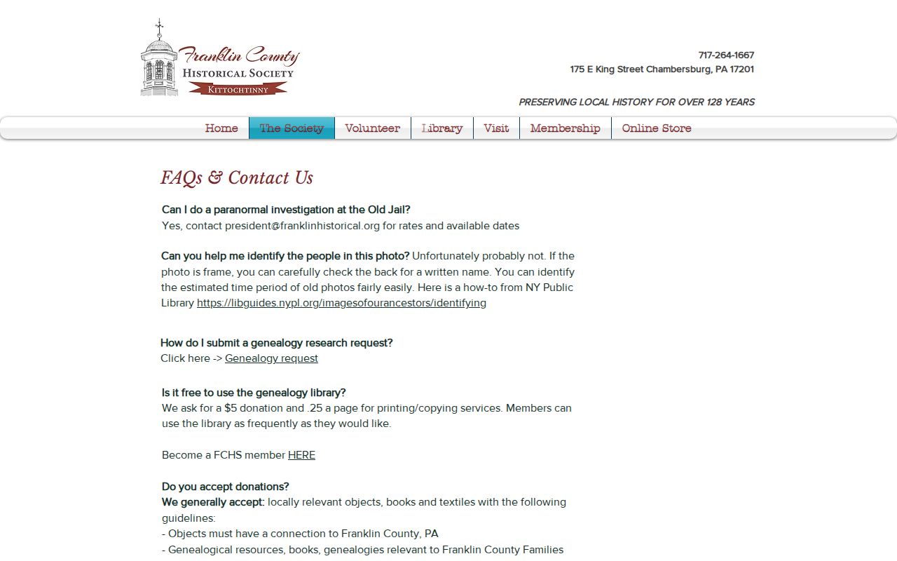
The local-history collection supports a time-specific block question, not a current list of Chambersburg neighbors.
Privacy Limits for Chambersburg Neighbors
Some information should remain outside a block search. Pennsylvania's Address Confidentiality Program gives qualifying survivors an alternate mailing address that may be used in voter and other government records. It does not erase every historic public record, but it is a meaningful safety protection. Court access also has redaction, sealing, expungement, and limited-access rules. Utility customer accounts and motor-vehicle records are not public block records.
When an older block question reaches a death, use archive and lawful vital-record channels rather than trying to derive private details from nearby parcels. Court availability is record-specific and should not be treated as a way to assemble a profile of people nearby.
Lawful use. Use Chambersburg neighbor records for civic curiosity, property context, family history, or personal safety awareness. Do not use information to watch, threaten, intimidate, harass, or harm anyone.